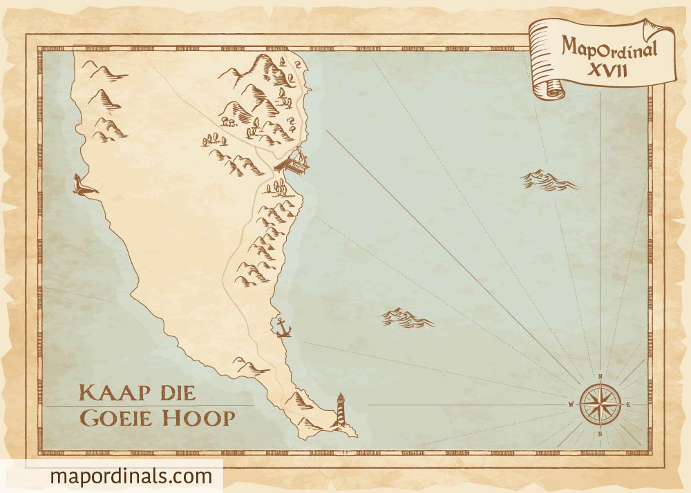
Cape of Good Hope
Cape of Good Hope (Kaap die Goeie Hoop in Afrikaans) is a rocky promontory located at the southwestern tip of South Africa. The cape marks the point where the Atlantic Ocean meets the Indian Ocean, and it is known for its rough seas and strong winds. Many ships have been wrecked along the coast over the years. The Cape of Good Hope is also home to the Cape Point Lighthouse, which was built in 1859 to help guide ships around the cape. The lighthouse is still in operation today and is open to visitors who can climb to the top for stunning views of the surrounding coastline.
- The cape was named by the Portuguese explorer Bartolomeu Dias, who first rounded the southern tip of Africa in 1488, and dubbed it the "Cape of Storms" due to the treacherous currents and winds that made navigation difficult. The cape was later renamed the "Cape of Good Hope" by King John II of Portugal as it signaled the opening of a sea route to the east.
- The Cape of Good Hope is not the southernmost point of Africa, as many people believe. It is Cape Agulhas, which is located approximately 90 miles (150 km) southeast of the Cape of Good Hope.
Back To Explorer
NFT on Magic Eden NFT on Gamma


