Thera (Santorini)
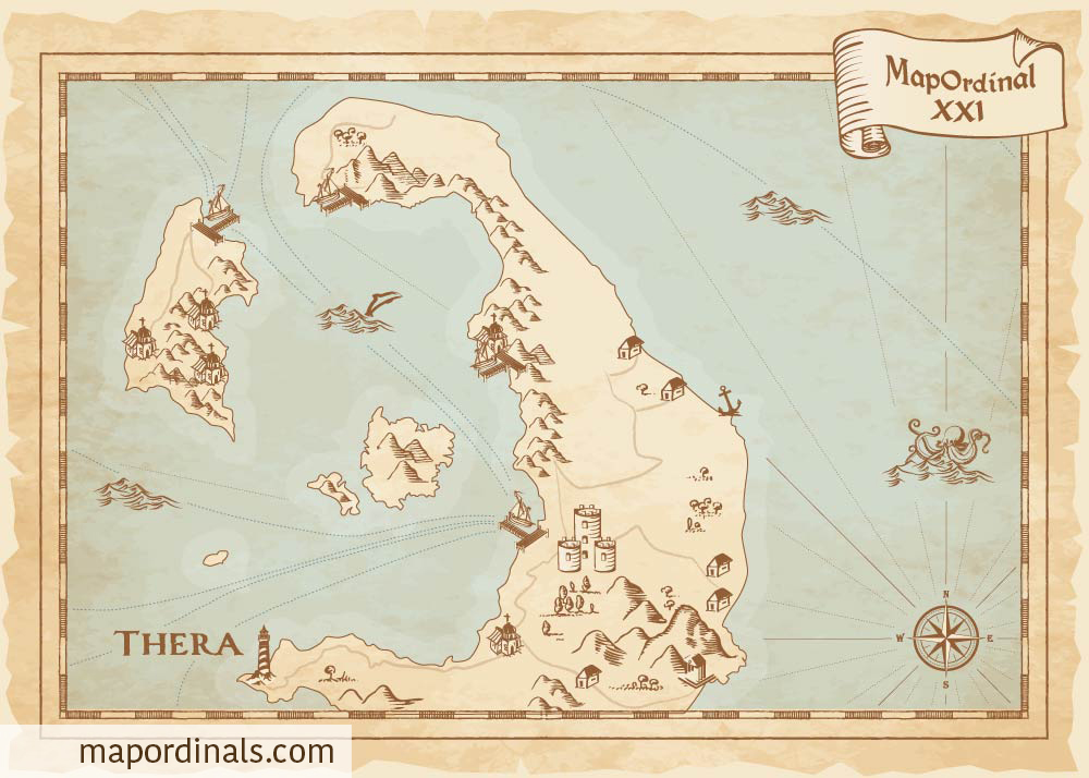
Thera Island, also known as Santorini, is a Greek island located in the southern Aegean Sea. The island was formed by a volcanic eruption that occurred around 3,600 years ago, which shaped its rugged landscape and created its famous caldera, a large volcanic crater that is filled with seawater. Thera Island has been inhabited since prehistoric times and is known for its ancient Minoan ruins, including the city of Akrotiri, which was buried by the volcanic eruption and preserved until its rediscovery in the late 19th century. The eruption was one of the largest volcanic events in recorded history and had a devastating impact on the island and surrounding areas. The eruption is estimated to have been four to five times more powerful than the 1883 eruption of Krakatoa in Indonesia. It resulted in the collapse of the island's central caldera and the formation of a large crater, which was later filled with seawater. The eruption also caused massive tsunamis, which devastated coastal settlements throughout the eastern Mediterranean. The Thera eruption is believed to have had significant effects on ancient civilizations in the region, including the Minoan civilization on the nearby island of Crete. The eruption has been linked to the decline of the Minoans, although the extent of this impact is still a subject of debate among historians and archaeologists.
Back To Explorer
NFT on Magic Eden NFT on Gamma


