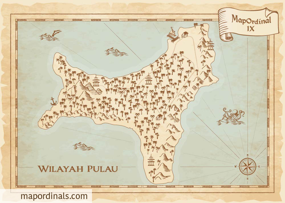
Christmas Island
It is located in the Indian Ocean, approximately 350 kilometers south of Java and Sumatra and around 1,550 kilometers northwest of the nearest point on the Australia.
Settlement and Exploitation
Richard Rowe of the Thomas was the first European to see the island in 1615. When Captain William Mynors of the Royal Mary, passed through the island on Christmas Day in 1643, he christened it. The crew of the Amethyst made the first attempt to explore the island in 1857. They attempted to reach the island's summit but were thwarted by impassable cliffs. Captain John Maclear of HMS Flying Fish discovered an anchorage in a bay he dubbed "Flying Fish Cove" in 1886 and landed a party to collect flora and animals. Soon afterwards, a small settlement was established in Flying Fish Cove by G. Clunies Ross.
Japanese Invasion
During WWII, a dozen Japanese bombers began an attack at daybreak on March 31, 1942. On the same day, a Japanese squadron of nine ships arrived, encircling the island. Around 850 troops from the Japanese 21st and 24th Special Base Forces, as well as the 102nd Construction Unit, landed at Flying Fish Cove and took over the island.
Transfer to Australia
Following the war, at Australia's request, the United Kingdom handed sovereignty to Australia, with the Australian government paying Singapore $20 million in compensation for the loss of phosphate revenue.
- About half of Christmas Island’s unique plant life is not found anywhere else in Australia.
- The capital is Flying Fish Cove; it had a population of 500 in 2013.
- You must not touch a stranger's head on Christmas Island since it is considered exceedingly personal.
Back To Explorer
NFT on Magic Eden NFT on Gamma


